

DescriptionTogo is a West African nation, part of the French Community in Africa, formerly a French colony. The French got it from Germany as part of the spoils of World War I. Its main export in the 17th and 18th centuries was slaves. It became independent in 1960. It has bee governed as a personal dictatorship since then.It has been habitual, on the collecting side of numismatics, for “Africa” to exclude the Mediterranean coastal states, which are typically lumped in with the other Arab states in the category “Middle East.” Generally speaking, there was a colonial period and an independent period.By “Modern World Coins” we mean here, generally, the round, flat, shiny metal objects that people have used for money and still do. “Modern,” though, varies by location. There was some other way they were doing their economies, and then they switched over to “modern coins,” then they went toward paper money, now we’re all going toward digital, a future in which kids look at a coin and say “What’s that?” We’ll say: “We used to use those to buy things.” Kids will ask “How?” The main catalog reference is the Standard Catalog of World Coins, to which the KM numbers refer.
You may also like…
-
 The Shifting Sands of Algeria. With 79 Photographs.Find out more
 -
 Narrative of Travels and Discoveries in Northern and Central Africa In The Years 1822, 1823 & 1824, by Major Denham, Captain Clapperton, and the Late Doctor Oudney., Extending Across the Great Desert to the Tenth Degree of Northern Latitude, and from Kouka in Bornou, to Sackatoo, The Capital of the Fellatah Empire.Find out more
Related products
-
 The Barbary Coast With Illustrations.Find out more
 -
 Bright Levant. Signed by Son of the Author.Find out more
 -
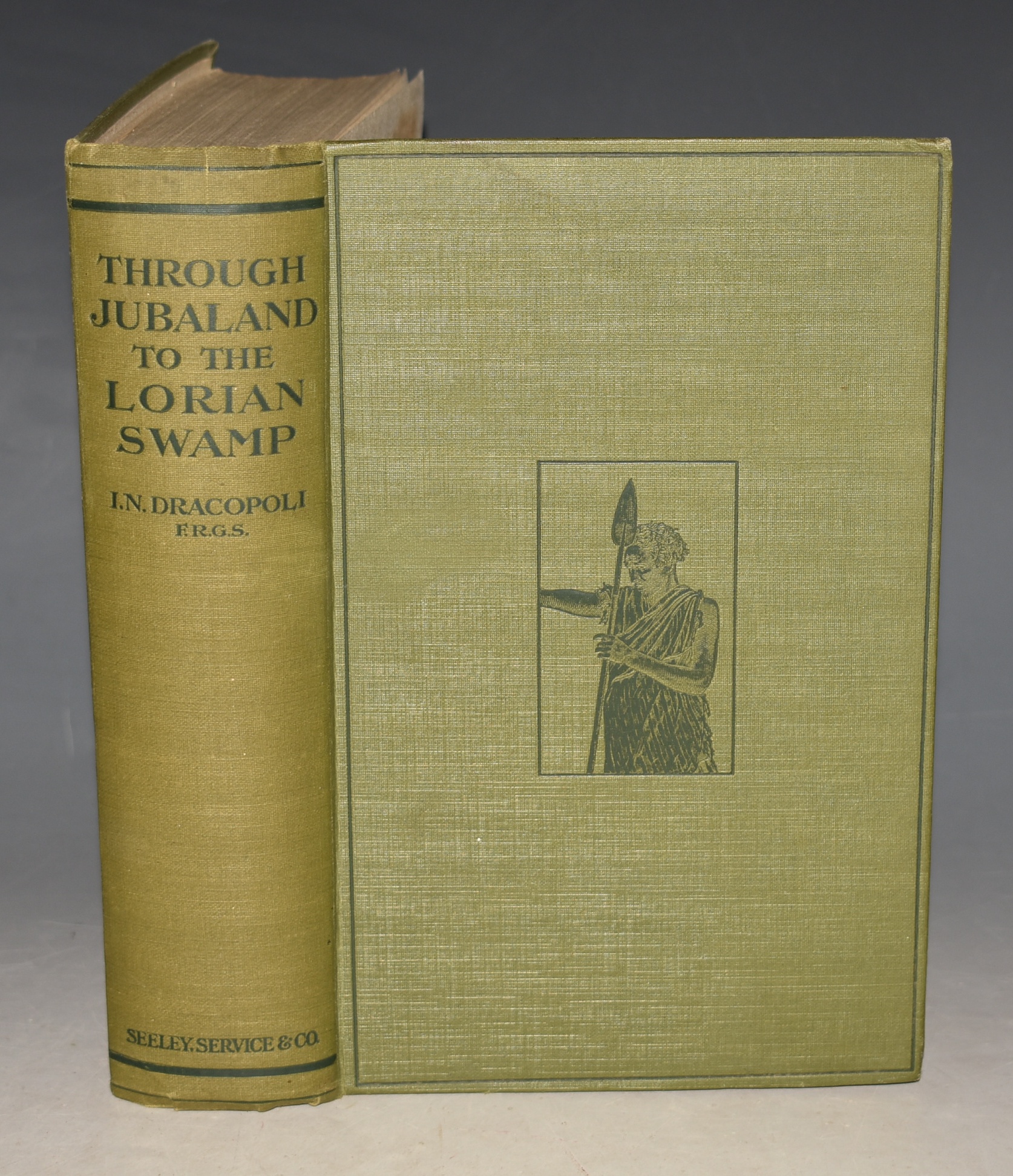 Through Jubaland To The Lorian Swamp An Adventurous Journey of Exploration & Sport in the Unknown African Forests & Deserts of Jubaland to the Unexplored Lorian Swamp. With 44 Illustrations and 2 Maps.Find out more
 -
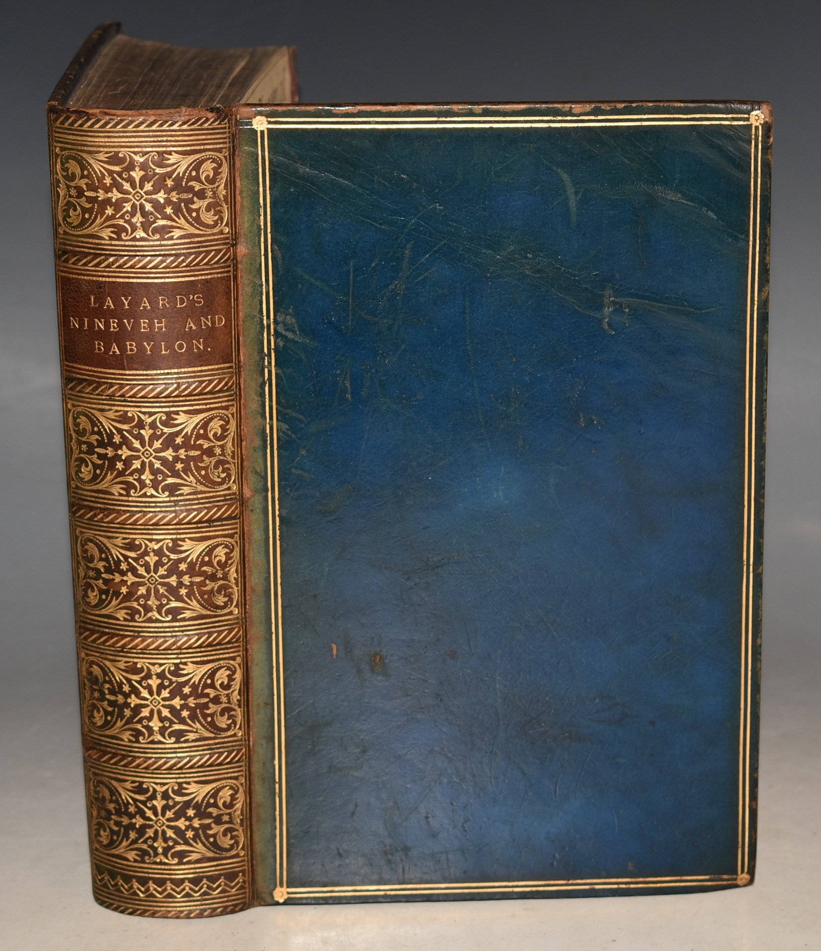 Discoveries in the Ruins of Nineveh and Babylon; With Travels in Armenia, Kurdistan and the Desert: Being the Result of a Second Expedition undertaken for The Trustees of the British Museum. With Maps, Plans and Illustrations.Find out more